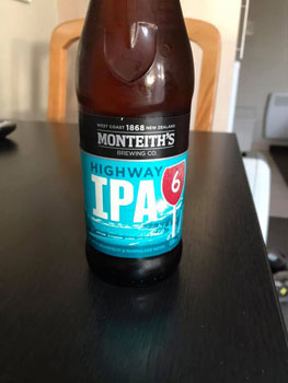
State Highway 6
In 2014 this photo of a tree, taken by a Christchurch photographer named Dennis Radermacher, won the New
Zealand Geographic award for best landscape photograph. The tree, which emerges from the waters of Lake
Wanaka 30 feet off shore, quickly became a symbol of hope and endurance.
Hundreds of thousands of photos of the tree have been taken since then. If you google Wanaka Tree
pictures of the tree taken in all kinds of weather at all times of day will appear. If you type #That
Wanaka Tree into the search location box on Google maps, the location of the tree will be revealed. I
have already proven my willingness to travel far off the beaten path to see distinctive trees so it should
come as no surprise to anyone who knows me that I wanted to see this one. In fact, seeing the tree was one
of the things I was looking forward to the most on this trip, and a slight detour off our planned route to
Fox Glacier would take us there.
On the morning of our departure from Queenstown, as we avidly searched the news trying to decide what we
should do next, I came upon a shocking article. The tree had been vandalized just three nights before.
Someone had sawed several of the large lower branches off and left them lying on the beach. What a stupid,
hateful world!
We finally packed up our computers, loaded our bags into the car, and headed into Queenstown to find some
breakfast. There was no reason to detour to see the tree anymore - it would have been too sad - but we still
had not decided which direction we would drive. Should we take State Highway 6 to Fox Glacier or State
Highway 8 which would take us to Christchurch where we could try to change our reservations to an earlier
flight home? As we ate, a distraught Australian in the next booth had a long, tearful phone conversation as
she tried to arrange a flight home.
We didn't make our decision until we were almost back at the car. Although everything around us was indicating
that we should probably drive directly to Christchurch, we weren't ready to give up on our adventure.
During the planning phases of this trip, we had a hard time planning this segment. A big storm had struck the
South Island in December causing massive damage. Tourists were stranded at the towns of Fox and Franz Josef
Glaciers, bridges were washed away, and the highway was expected to be closed for weeks, maybe months. It
was unclear whether it would be open again by the time of our visit so even before the pandemic this part
of our trip had been questionable.
Google Maps estimates that the drive between Queenstown and Fox Glacier will take 4.5 hours, but there are
numerous warnings on the internet that estimated travel times in New Zealand can be deceptive. We soon
discovered that we had to negotiate a lot of sharp curves and single lane bridges. It was going to be a long
day.
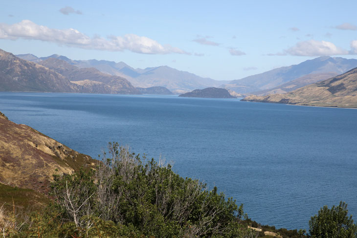
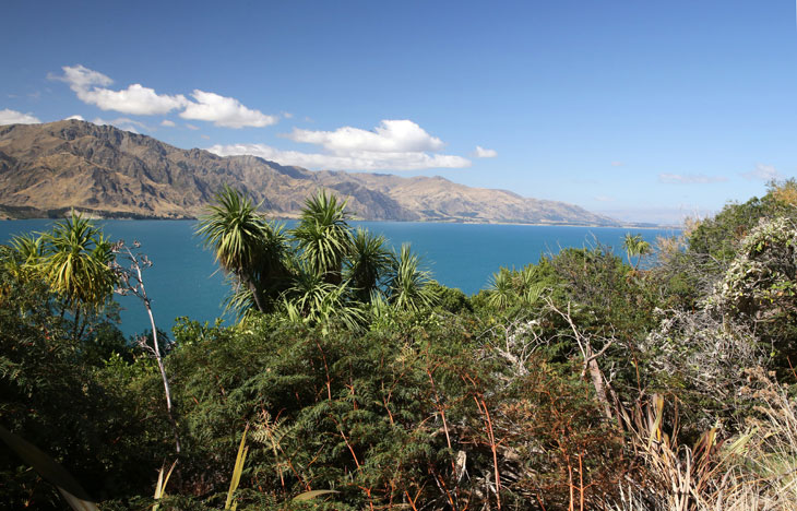
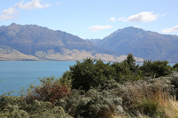
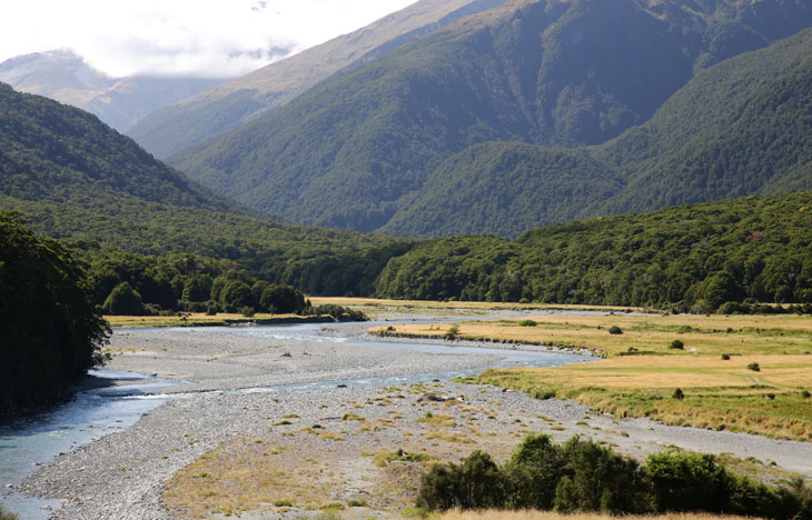
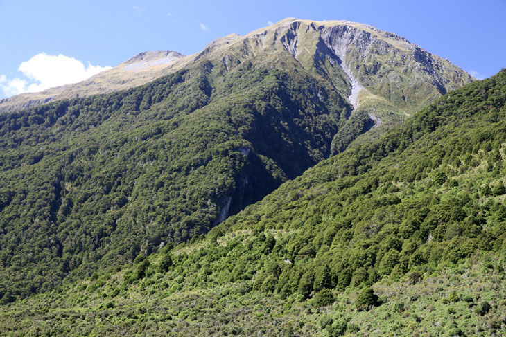
State Highway 6 is renouned for its scenic beauty. The road meanders past Lakes Hawea and Wanaka, crosses
Mount Aspiring National Park, and eventually runs north along the West Coast of the Island. These pictures were
taken at our first stop of the day. I think it is Lake Hawea, but it could be Lake Wanaka.
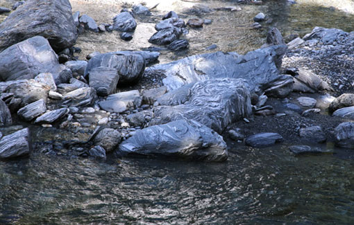
At our next stop, a wide, shallow, fast-moving creek rushed between the mountains.
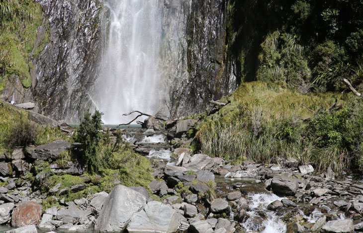
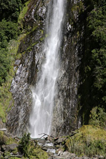
Thunder Creek Falls required a short hike into the forest. During our cruise at Milford Sound, the guide
told a story about the nasty little biting insect called the sandfly. There is a Māori legend that says
that when people saw the incredible landscape of Fiordland that had been created by the god Tu-te-raki-whanoa,
they were so awestruck by its great beauty that they stopped working and just stood around staring at it.
Their lack of productivity angered the goddess Hinenui-te-Po so she created sandflies to get them moving
again.
It was at this waterfall that I was finally bitten by one. It reminded me of the blackflies we used to endure
in Canada, and just like those bites, this one itched for weeks.
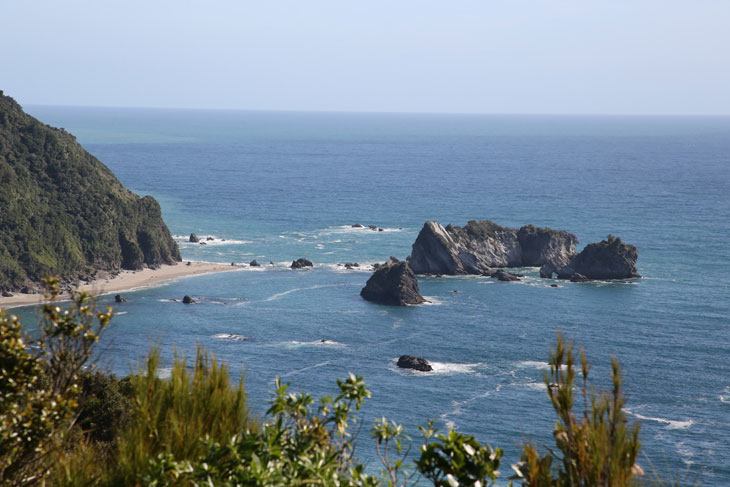
When the highway was constructed back in the 50's and 60's, one crew started in the north and worked south and
another started in the south and worked north. This lookout marks the spot where the two crews met. When the
government officials broached the subject of naming the spot, the construction crew informed them that they
already called it Knight's Point. Upon further questioning, it was revealed that Knight was the surveyor's dog.
The name became official.
Our final scenic stop was at this windswept beach near Bruce Bay.
It was late afternoon when we finally arrived in the tiny town of Fox Glacier. Our motel was very basic as
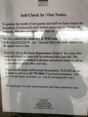
is just about every motel in town. I was quite surprised when I went to check in. A list of guests and
their assigned rooms had been posted on the office door. Another notice instructed us that the rooms were
unlocked and the keys were inside them. No one would be in the office because of COVID-19, but there was a
number to call if we needed to do something like book a helicopter tour.
What in the world had happened while we drove up State Highway 6? This was a whole new level of pandemic
weirdness...and, to add to the drama, the rain began to fall.

