Kyushu Olle
When I first started researching things to do in Kyushu, I discovered a web page about olles. The idea
for olles originated on the South Korean island of Jeju and has been embraced by the Kyushu Tourism
Promotion Organization. There are probably about 20 of these hiking trails all over the island. They wander past
places of interest, through towns and parks, and up and down mountains. They all seem to be about 8 or 9 miles long
and most have a difficulty rating of easy to moderate.
I was captivated by the idea of walking the Hirado course, but traveling to Hirado was more time-consuming
than I had originally thought so I settled on the Takeo Onsen course which is closer to Nagasaki. One of the
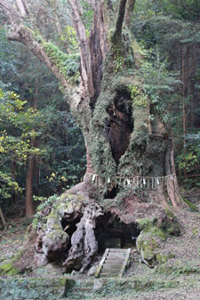
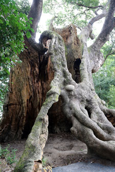
highlights of the trail is a camphor tree reputed to be 3,000 years old. Am I the only one who thinks that's
something worth walking 9 miles to see?
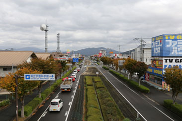
We started our journey to the town of Takeo on a brisk morning. The sky was heavily overcast with clouds. It took
about 2 hours and a change of trains to reach the Takeoonsen station. Once there, we wandered around in
confusion for awhile. There wasn't any signage we could read, and no one seemed inclined to approach and
offer assistance. We found a rack of brochures about olles, but none were in English. Finally, Walt
decided to go outside for a cigarette, and there, near the smoking area, we discovered the start of the trail.
The trail is marked in various ways. There are the 2 types of signs in the series of pictures below, and
sometimes there are blue and red ribbons tied to a tree branch or a pole. The logo for the olle is a small,
wild horse, native to Jeju, known as a kanse. The sign supposedly resembles the head of the kanse, but I think that
if that is the case, the kanse is a very strange looking creature.
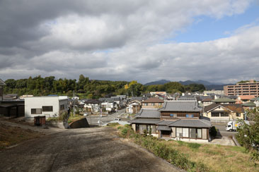
At first the trail headed up one street and back down the next street. We began to wonder if the intent was
just to stretch out the distance walked. We passed an old train, but nothing else was of much interest. Then
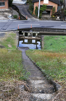
we crossed a highway overpass, walked along a canal, and reached the entrance to the Shirawa Athletic Park.
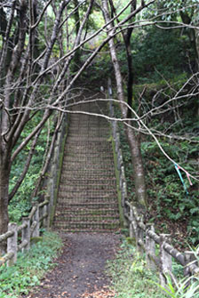
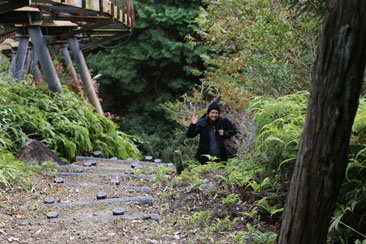
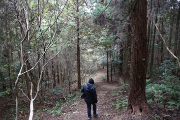
We headed up our first set of steps of the day and into the woods. You can see some of those trail-marking
ribbons in the trees in the picture on the right. I think some people must take them as souveniers because
at times they were elusive.
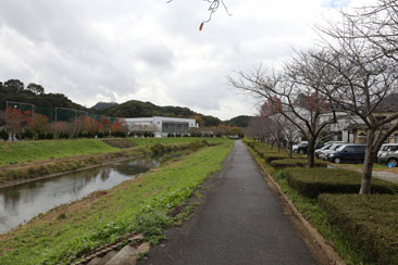
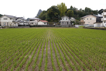
On the other side of the park, we descended through the trees to what I believe is Kimyo-ji Temple.
This rice field sits across from the temple. It was here that the ribbons disappeared for the first time
and we lost the trail. I had imagined that we would encounter other trekkers, but no one seemed to be
hiking that day except for us. I guess that isn't really surprising because it was a cloudy Thursday in
November. After wandering around the empty neighborhood for awhile, we noticed some ribbons flapping in the
distance and got back on track.
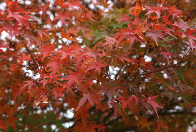
At the top of another set of steps we came to this reservoir complete with swan and a pleasant little park
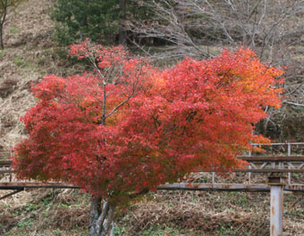
where we stopped to rest and eat our lunch. There were even some brightly colored autumn leaves.
It was at this point that a decision had to be made. We could take the mountain course which was described as
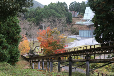
having a steep descent or climb 257 steps up the side of the mountain to the Noborukun observation platform.
We elected to climb the stairs which were next to a monorail. Sadly, it looked like the monorail had not been
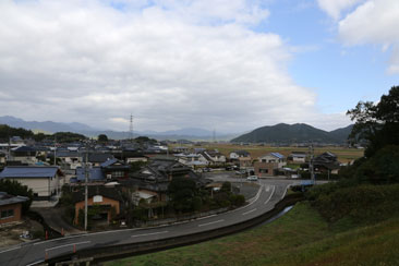
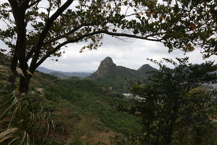
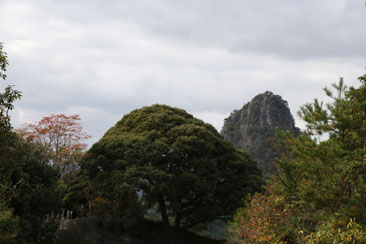
used in years. It took quite awhile to climb all those stairs, but we were rewarded by the pleasant view at the top.
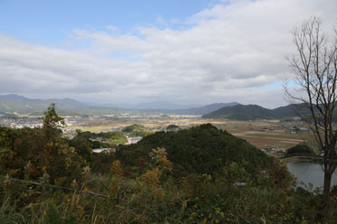
We had been seeing this mountain from various angles all during our hike, but this is my favorite shot of it.
Down and up and down again. Eventually we came out of the woods and into the town once more.
I honestly don't know how we finally found the tree. We were pretty tired by this point. The ribbons led us
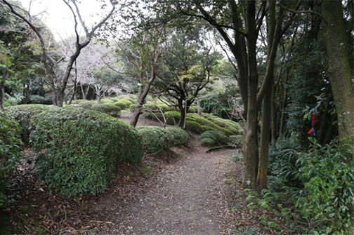
to the parking lot of some sort of civic building and then disappeared. We wandered through a garden
and out onto a busy street. There was a parking lot on the other side with some waiting buses, and at the other end
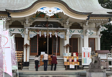
of the lot was the entrance to Takeo Shinto Shrine! We had reached our goal!
A large group of children about 4 or 5 years old was descending the steps with their teachers as we were
wearily climbing up. As we passed them, many of the children called out to us "Konnichiwa! Konnichiwa!"
It was a beautiful moment.
....but we weren't quite there yet. There were more steps and a walk through a bamboo grove and then, finally, the
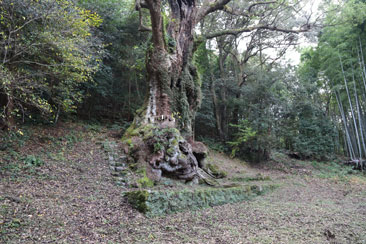
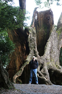
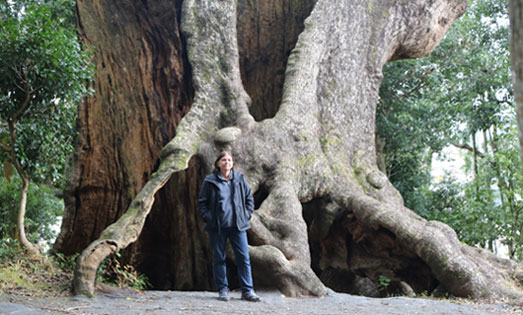
3,000 year old tree.
This picture is taken looking back towards the shrine. I had noticed the three women while I was admiring the tree.
They were having the best time, laughing and taking pictures of each other.
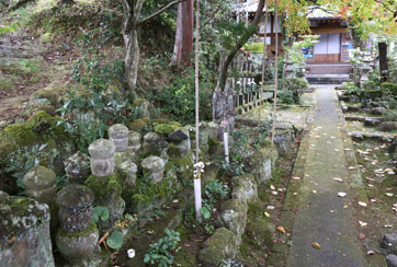
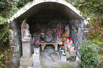
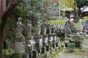
These two pictures were taken at the shrine.
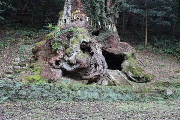
The trail led to the remains of another large camphor tree. Judging from the empty beer cans and snack wrappers,
this is a popular drinking place for the locals.
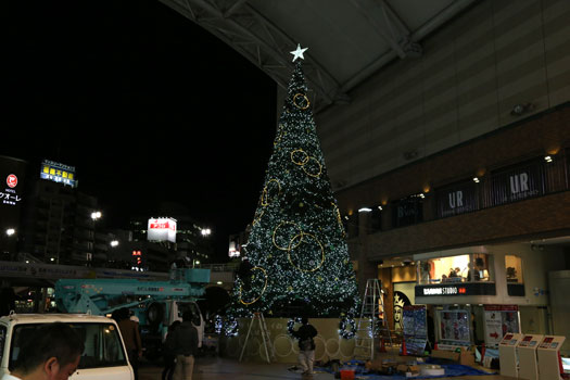
The olle ends at Takeo Hot Spring which was about another mile, but by this point all we wanted to do was to return
Nagasaki so that's what we did. At the station we were amazed to see this festive tree which had been
erected and decorated while we were gone.
On our second night in Nagasaki, we had eaten dinner in an Indian restaurant near our hotel. When the waitress
realized we knew little Japanese, she had a sort of panic attack and went running off to the chef for help.
There was really no reason for her reaction because the restaurant had a menu with pictures, but the
chef was a pleasant fellow, and we enjoyed talking with him.
After our long trek, my first thought was that we should pick up some bentos at the station and collapse at the hotel
as quickly as possible, but on the train ride back to Nagasaki these thoughts were replaced with longing for a nice
hot meal so we returned to the Indian restaurant where we were welcomed by a warm smile from the chef and friendly
greetings from the staff.
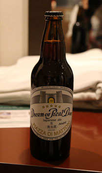
After dinner we numbed our aches and pains with one of the bottles of beer that Sumi had given us in Okayama. It
had been a wonderful, albeit exhausting day.